
Photo: Raita Futo from Tokyo, Japan / Wikimedia Commons (CC BY 2.0)
徳島県
Mt. Tsurugi (Sea of Clouds)
Overview
Rising to 1,955 metres in the heart of the Shikoku Mountains, Mt. Tsurugi is the highest peak in western Japan beyond the Kinki region — a broad, table-topped summit draped in dwarf bamboo grass and crossed by wooden boardwalks that offer an unobstructed 360-degree panorama. The mountain straddles three districts of Tokushima Prefecture, and from its crown the layered ridges of the Tsurugi Range fold away in every direction, with the sister peak of Jiro-gyu visible just to the west and the sharp silhouette of Miune to the northeast. This is not a mountain that announces itself with drama at the trailhead; its power accumulates slowly, ridge by ridge, until the summit plateau opens like a stage. What draws photographers and dawn-chasers alike is the sea of clouds (unkai) that forms in the valleys below, most reliably from late September through mid-November. When cold air settles overnight into the deep gorges around the Miyanokosu trailhead — already at about 1,420 metres elevation — thin mist gathers and thickens until, by the first grey light of dawn, the lower world is submerged beneath a luminous white ocean. The peaks of the Tsurugi Range — Jiro-gyu, Tower-no-maru, Miune — emerge above the cloud surface like islands, their outlines sharpened by the cold morning air. Because the phenomenon requires a precise alignment of humidity, temperature drop, and calm winds, no two mornings are identical, and the cloud sea never forms on demand. That unpredictability is part of its pull. Mt. Tsurugi also carries a long spiritual history. Legends hold that surviving members of the defeated Heike clan sought refuge in these mountains after the 12th-century Genpei War, and small Heike graves and shrines still dot the slopes. The inner sanctuary of Tsurugi Shrine sits just below the summit, and mountain-faith rituals have been observed here for centuries. A ropeway (gondola lift) running from Nishi-mura station up toward the ridge — typically open from spring through autumn — makes the upper reaches accessible to hikers of all experience levels, while the final ridge walk through beech and Erman's birch forest remains a pleasure reserved for those who go on foot.
Best period
The sea of clouds appears most reliably from late September to mid-November, ideally on mornings that follow a rainy day and turn calm and clear by dawn. Check local mountaineering communities or the tourist association website for up-to-date conditions before visiting.
7 〜 9 月
Access
📍 Address: Sugoi, Higashi-Iya, Miyoshi, Tokushima
From JR Awa-Ikeda or Sadamitsu Station, take a bus or taxi to the Miyanokosu trailhead. By car, use the Miyanokosu parking area. On autumn weekends, arrive very early as roads and parking fill quickly.
Map
Related spots
Same theme

兵庫県
Takeda Castle Ruins
Best period·The sea of clouds appears most often from early October to late November on clear mornings with a sharp overnight temperature drop; peak viewing is roughly 6–8 a.m. The Riunkyō viewing platforms fill before dawn, so arrive early. Cherry blossoms in April are a secondary highlight.

北海道
Bihoro Pass
Best period·Autumn foliage peaks in early to mid-October — one of Hokkaido's finest leaf-colour viewpoints. Summer (June–July) offers vivid green hillsides against the lake's deep blue. The fog-waterfall phenomenon occurs on cold, calm autumn and winter mornings; arrive early for the best chance of seeing it.

奈良県
Odaigahara Plateau (Sea of Clouds)
Best period·The sea of clouds appears most reliably from September through November, especially after a rainy day followed by a clear, calm morning. Autumn foliage typically peaks in mid-to-late October. Rhododendrons bloom in early June. Always check conditions before visiting.
北海道
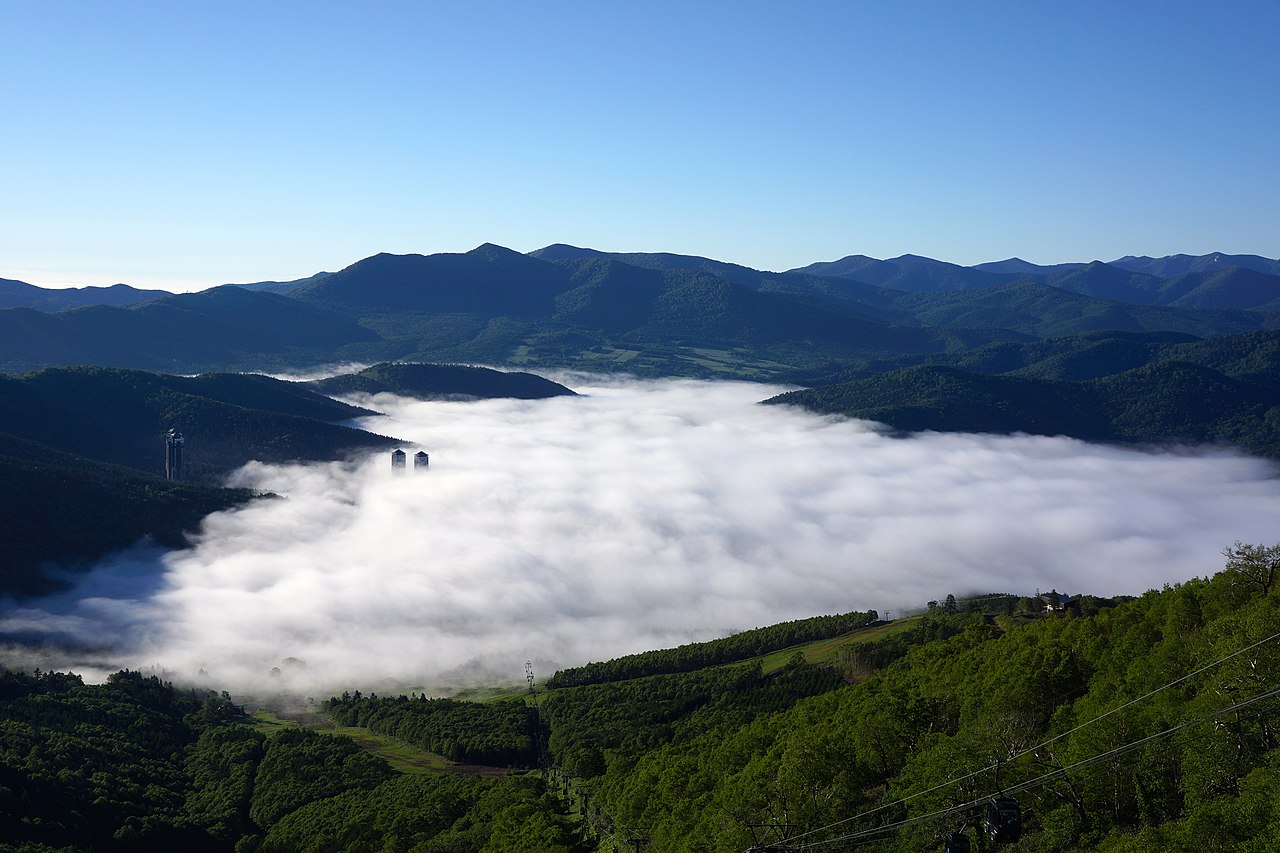
Unkai Terrace at Hoshino Resorts Tomamu
Best period·Early mornings from mid-May to mid-October (subject to weather)

長野県
SORA terrace, Ryuoo Mountain Park
Best period·June to October, especially early mornings after rain and at dusk (weather dependent)

熊本県
Aso Daikanbo Sea of Clouds
Best period·Clear, sharply chilled early mornings from late September to November (weather dependent)
In the same area

events nearby
